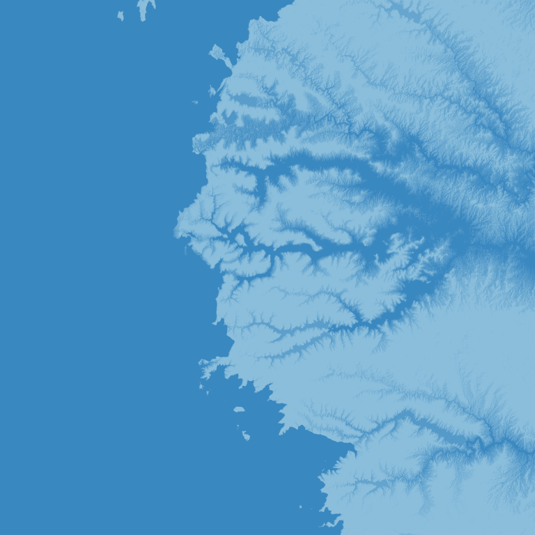
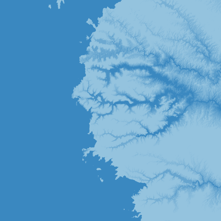
REM- Beautiful Maps based on @klarrieu https://github.com/OpenTopography/RiverREM/blob/main/riverrem/REMMaker.py. Forked with QGIS to make it easier and to produce different flood maps from PyQGIS. The code form @klarrieu is used with changes for updates. But most importantly, QuickOSM from QGIS is obtain the river shape file. Later the REM.tif output is processed with PyQGIS to draw different levels of water on min max scaler of QGIS. Create geo_env and activate following instructions from @klarrieu. Use QGIS Open topo to produce DEM or use any public repository to download DEM of area of interest as a ‘.tif’ file. Use the REM-QGIS+pyQGIS in compiler.