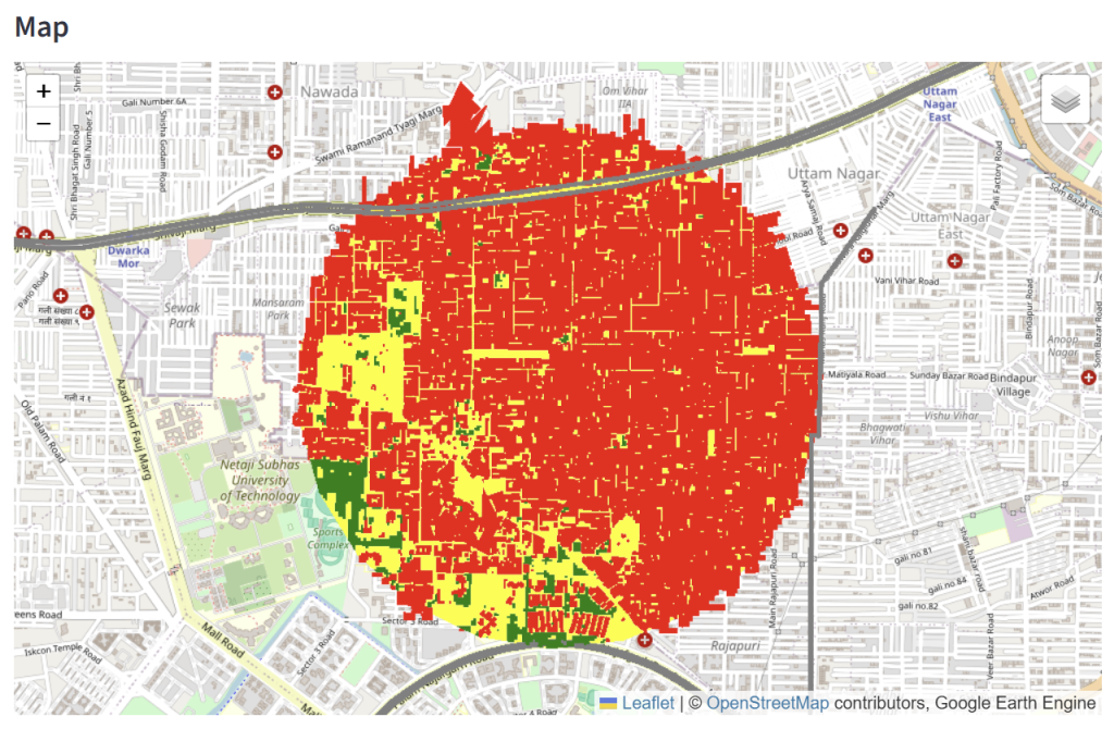
The application provides rapid urban land-use analysis for any user-selected location in India using Google Earth Engine and publicly available geospatial datasets.
Users select a point on an interactive map, and the application automatically computes:
Building footprint area
Road area
Vegetation area
Open space area
Average building height
Estimated average floor count
Built-up area proxy
Floor Area Ratio (FAR) proxy
The output is visualized through summary metrics, charts, and an interactive map.